Panorama Trail - John Muir Trail Shuttle
5202 Glacier Point Rd, California 95389, USA, , United States,
今日天气:
 5.7℃。
最低气温:4.4℃,
最高气温:7.2℃
5.7℃。
最低气温:4.4℃,
最高气温:7.2℃
 5.7℃。
最低气温:4.4℃,
最高气温:7.2℃
5.7℃。
最低气温:4.4℃,
最高气温:7.2℃

简介
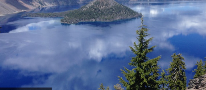
This hike is an 8.5-mile one-way shuttle hike that descends 3,200 feet from Glacier Point atop the south rim of Yosemite Valley. The trail ends at Happy Isles on the east end of the valley floor. From Glacier Point, the route traverses down Illilouette Ridge to the top of Illilouette Fall, crosses a bridge over the gorge, and follows along Panorama Cliff to Nevada Fall. The trail joins the John Muir Trail, following the watercourse of the Merced River back to the valley.
徒步路径信息
| 活动类型: | 徒步 |
| 附近城市: | Wawona |
| 区域: | Wawona California Hikes |
| 适宜季节: | Best spring through fall |
| 当地联系机构: | Yosemite National Park |
| 拓扑图: | Panorama Trail - John Muir Trail Shuttle Topographic Map |
| 地形信息来源: | USGS Half Dome |
| 路线类型: | 不同地点出入 |
| 难度级别: | Easy to Moderate |
| 路线长度: | 8.5 total miles |
| 驾驶指南: | View Guide |
| 旅行手册: | Day Hikes in Yosemite National Park Guide Book |
| 所需时长: | 4 小时 |
| 海拔提升: | 750 尺 |
你对 Panorama Trail - John Muir Trail Shuttle 有什么问题?